Alcalali – Coll de Rates
A Classic Climb with Panoramic Valley Views
If you’re after a hike that combines historic charm, varied landscapes, and one of the most iconic viewpoints in the Marina Alta, the Alcalalí – Coll de Rates trail delivers. Starting in the picturesque village of Alcalalí, this route takes you steadily up into the Sierra de Bèrnia foothills, ending at the legendary Coll de Rates pass – a spot beloved by hikers, cyclists, and photographers alike.
Why choose this route?
Coll de Rates is famous for its sweeping views over the Jalón/Xaló Valley, the surrounding mountains, and, on clear days, even the Mediterranean coastline. Approaching it on foot from Alcalalí gives you a slower, more intimate experience of the landscape: almond orchards in spring bloom, olive groves, and terraced hillsides dotted with dry-stone walls. The gradual climb makes the unfolding scenery even more rewarding.
What to expect?
The route is moderately challenging, with a steady ascent along a mix of paved tracks, rural paths, and rocky sections. As you climb, you’ll pass through fragrant pine forest and open ridges, each bend revealing wider horizons. At the Coll de Rates viewpoint, you can enjoy a 360° panorama – from the Sierra de Aitana to the glint of the sea – and, if you’re lucky, spot paragliders soaring above the cliffs.
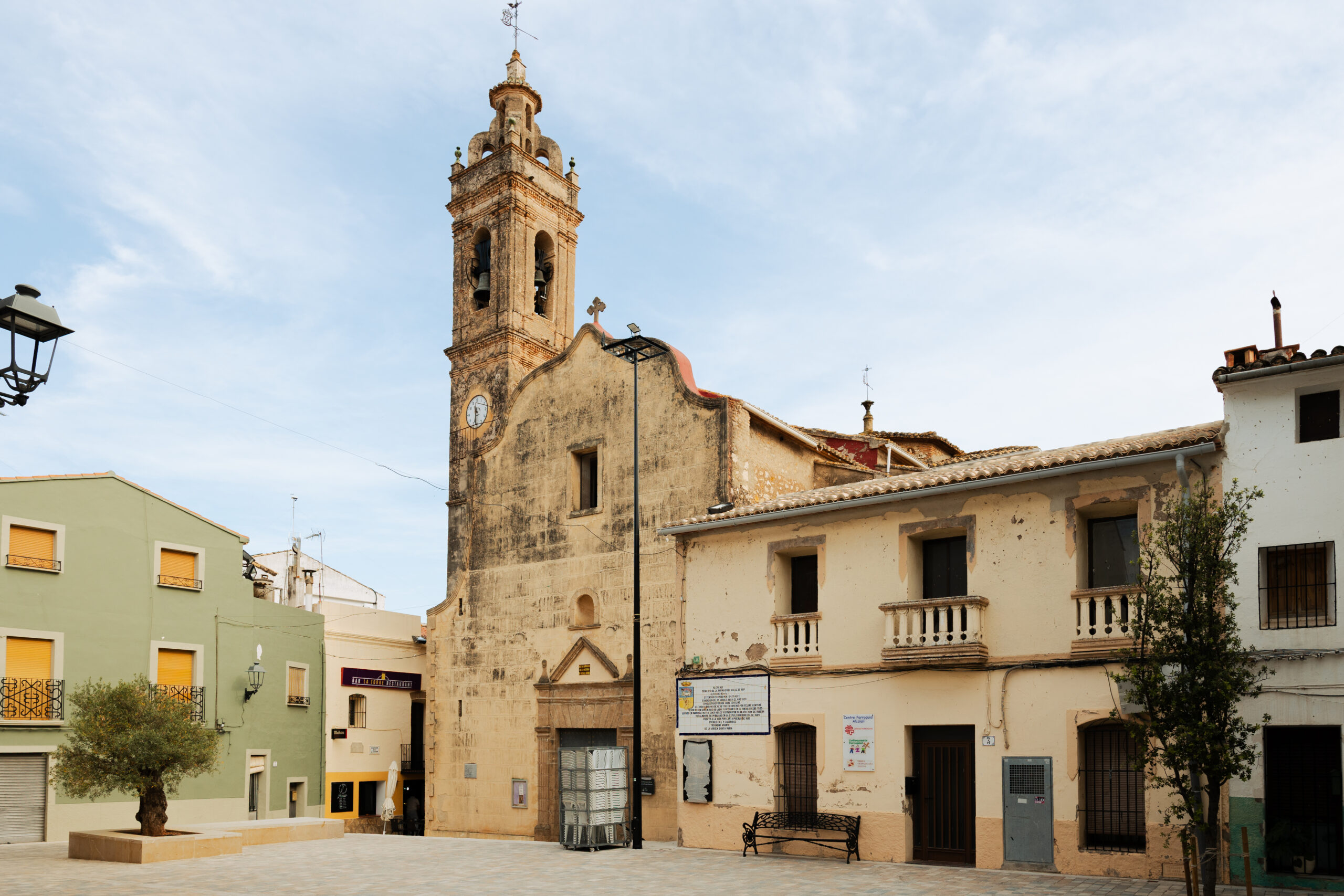
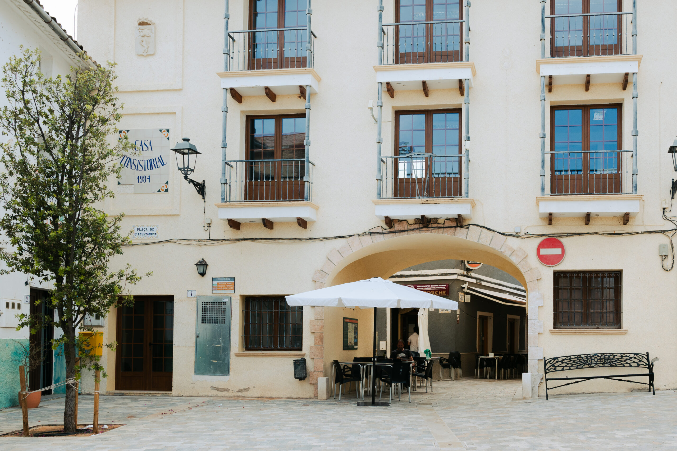
- The trail begins at the Plaza del Ayuntamiento in Alcalali, follows Calle Ravalet, crosses the Xaló river, ascends through almond, olive, orange groves, and vineyards.
- A historic footpath leads to the Coll de Rates viewpoint, once used by bandits, now offering sweeping views and a panoramic viewpoint with a descriptive model.
- The return descent via PR-CV 158, passing stone-step paths, “Camí de les Revoltes” or “Camí de la Pansa”, the Camí dels Pous, and finally back to Alcalalí, with an optional stop at the Moorish-era Hermitage of San Joan de Mosquera
Practical information
- Starting point: Plaza del Ayuntamiento, Alcalalí (well-signposted local paths)
- Distance: approx. 10–12 km (round trip, it’s possible to shorten or extend via other routes)
- Duration: 3.5–5 hours
- Elevation gain: ± 500 meters
- Difficulty: Moderate – suitable for hikers with decent fitness
- Gear: Comfortable hiking shoes, water, sun protection, light snacks
- Best time to go: Spring for almond blossom, or autumn for clear views; early mornings in summer
- Access: Free – no permits required
- Note: Little shade in the final sections – bring a hat and plenty of water
Bonus: Post-hike pleasures
Back in Alcalalí, reward yourself with a drink or meal at one of the village’s inviting cafés or restaurants. If you visit in February, the Almond Blossom Festival transforms the valley into a sea of pink and white, adding an unforgettable splash of color to your hike.